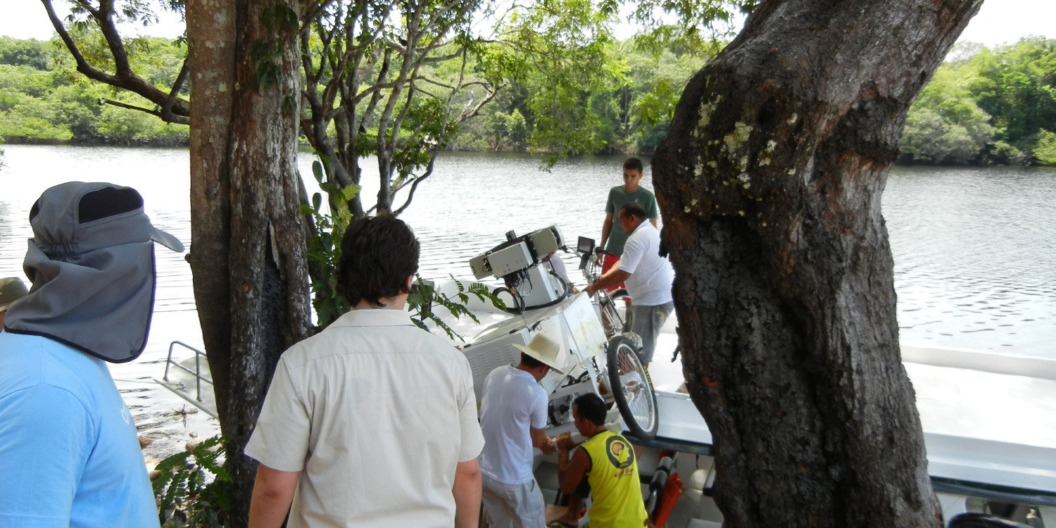
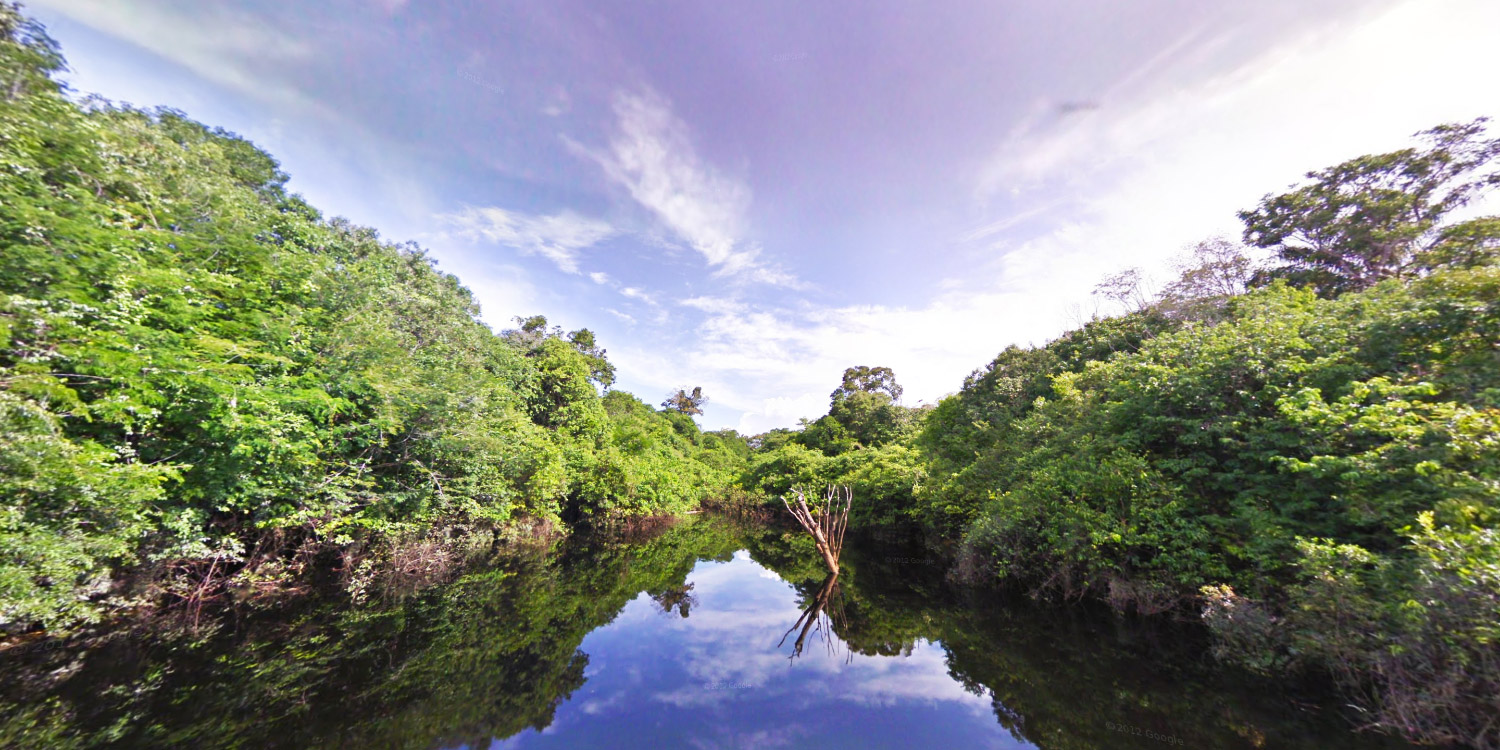
Outreach teams were invited to the Amazon Basin to collect ground-level images of the rivers, forest and communities in the Rio Negro Reserve. On, March 21, 2012 on World Forest Day, we made those images available through the Street View feature on Google Maps.
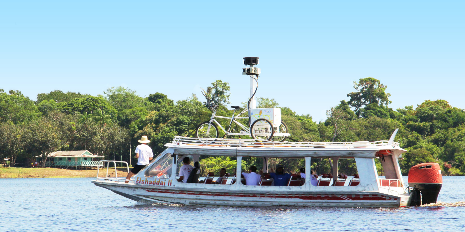
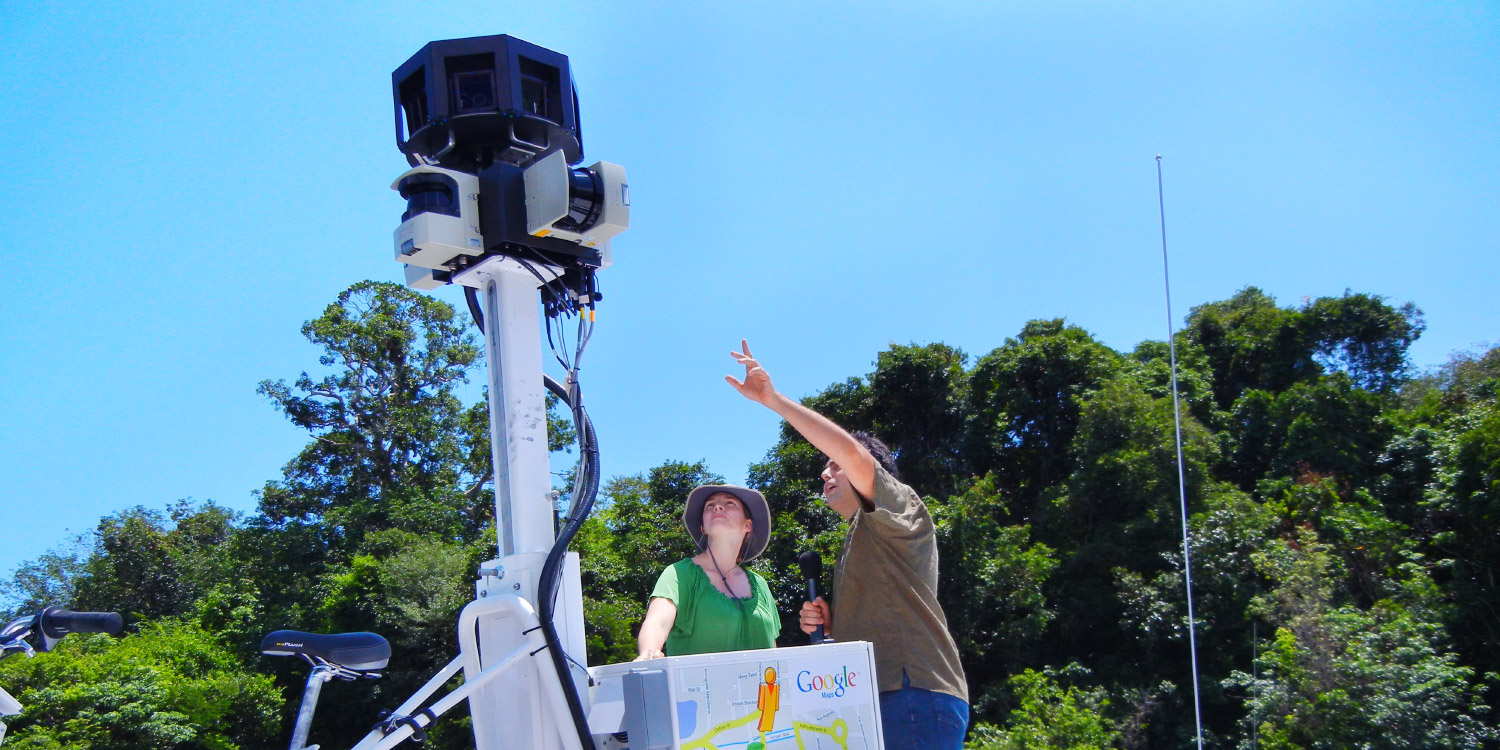
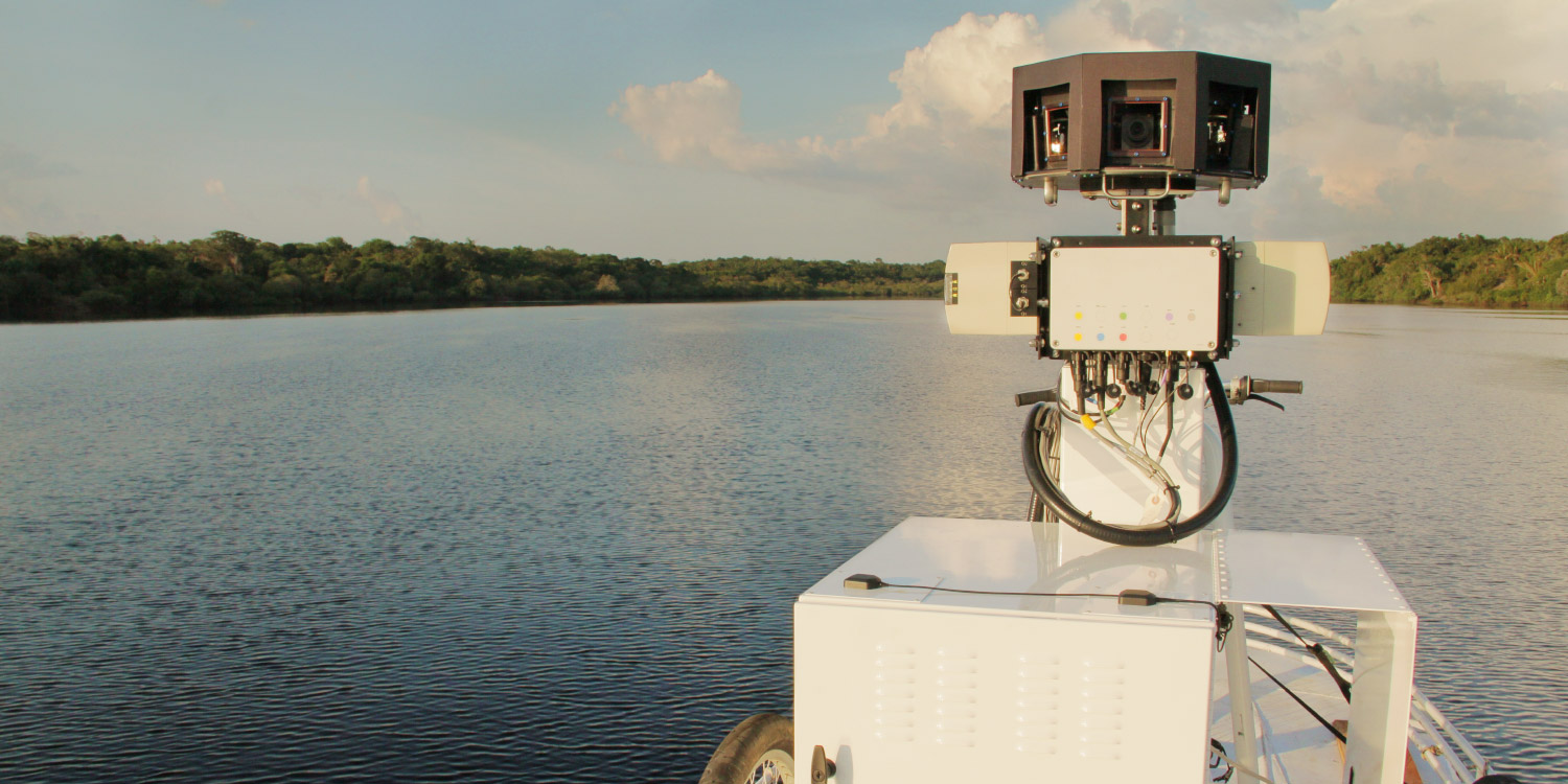
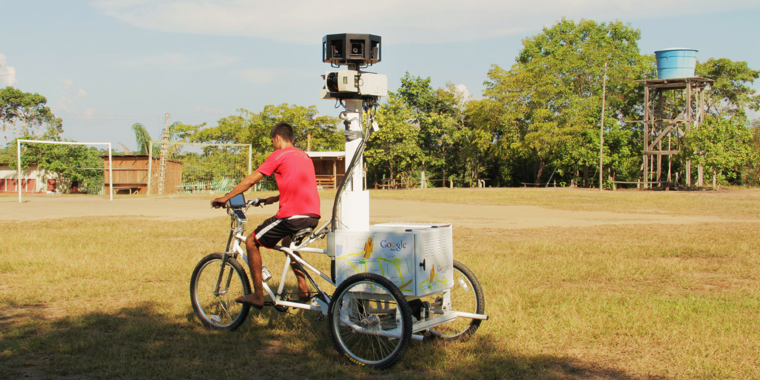
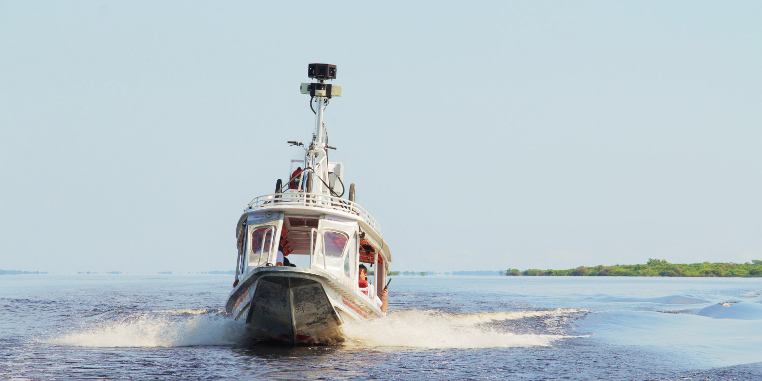
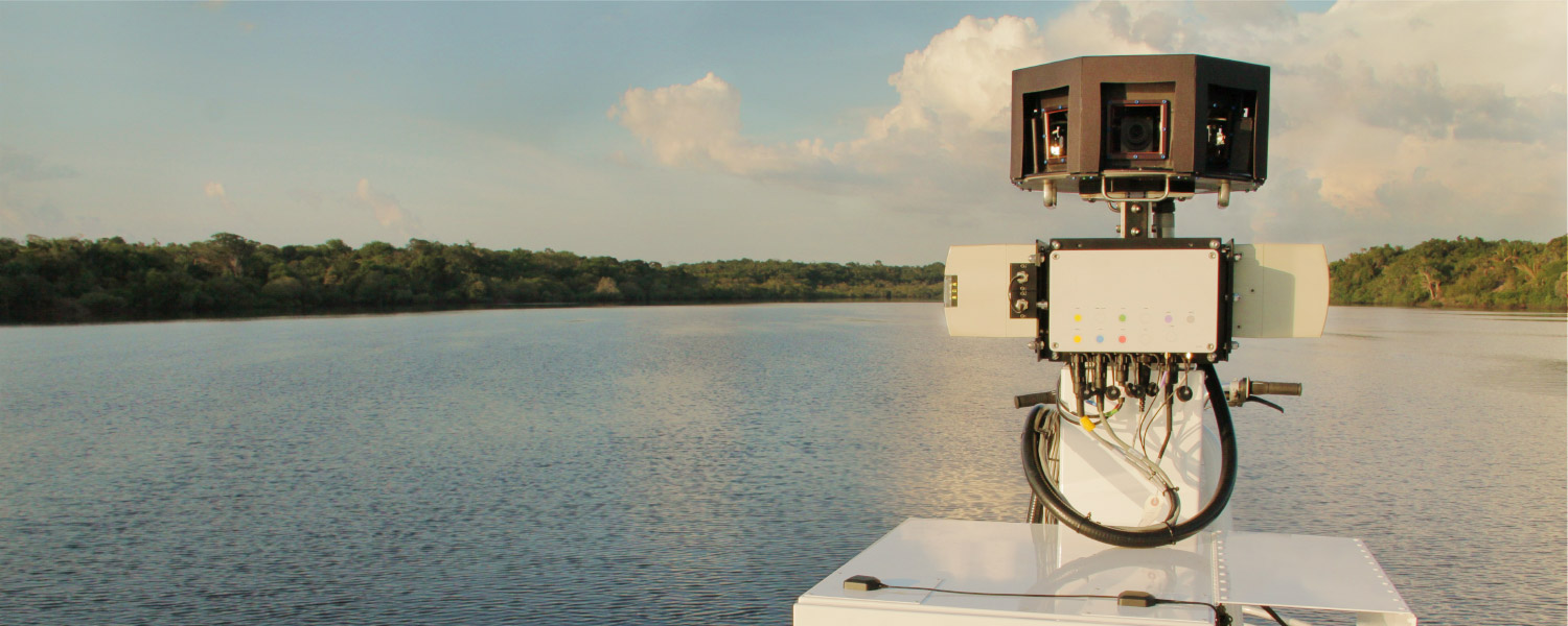
This project was made possible in partnership with the Amazonas Sustainable Foundation (FAS), the local nonprofit conservation organization that invited us to the area. We used the Street View trike, which we also put on top of a boat to collect the river views, and a tripod camera with a fisheye lens—typically used to capture imagery of business interiors—to capture both the natural landscape and the local community.
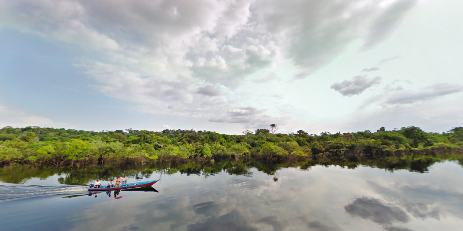
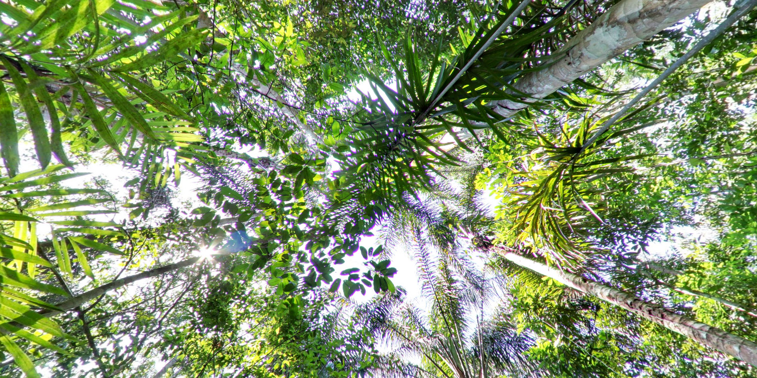
We ended up collecting imagery of the Rio Negro, an Amazon Forest trail and five river communities. You can take your time and explore all the images in the gallery below.
Together with FAS, we're thrilled to help everyone from researchers and scientists to armchair explorers around the world learn more about Amazon, and better understand how local communities there are working to preserve this unique environment for future generations.
Note from the Amazonas Sustainable Foundation: The Sustainable Development Reserve of Rio Negro is a conservation unit created by the State Government of Amazonas in 2008 to protect the environment and the life of communities living in this area. The management of the reserve is a responsibility of the State Center for Protected Areas - CEUC - from the State Secretary of Environment and Sustainable Development of Amazonas (SDS / AM). The entry of non-resident people in the reserve is controlled by the Amazonas Government. For more information, please visit CEUC’s website.
Read more