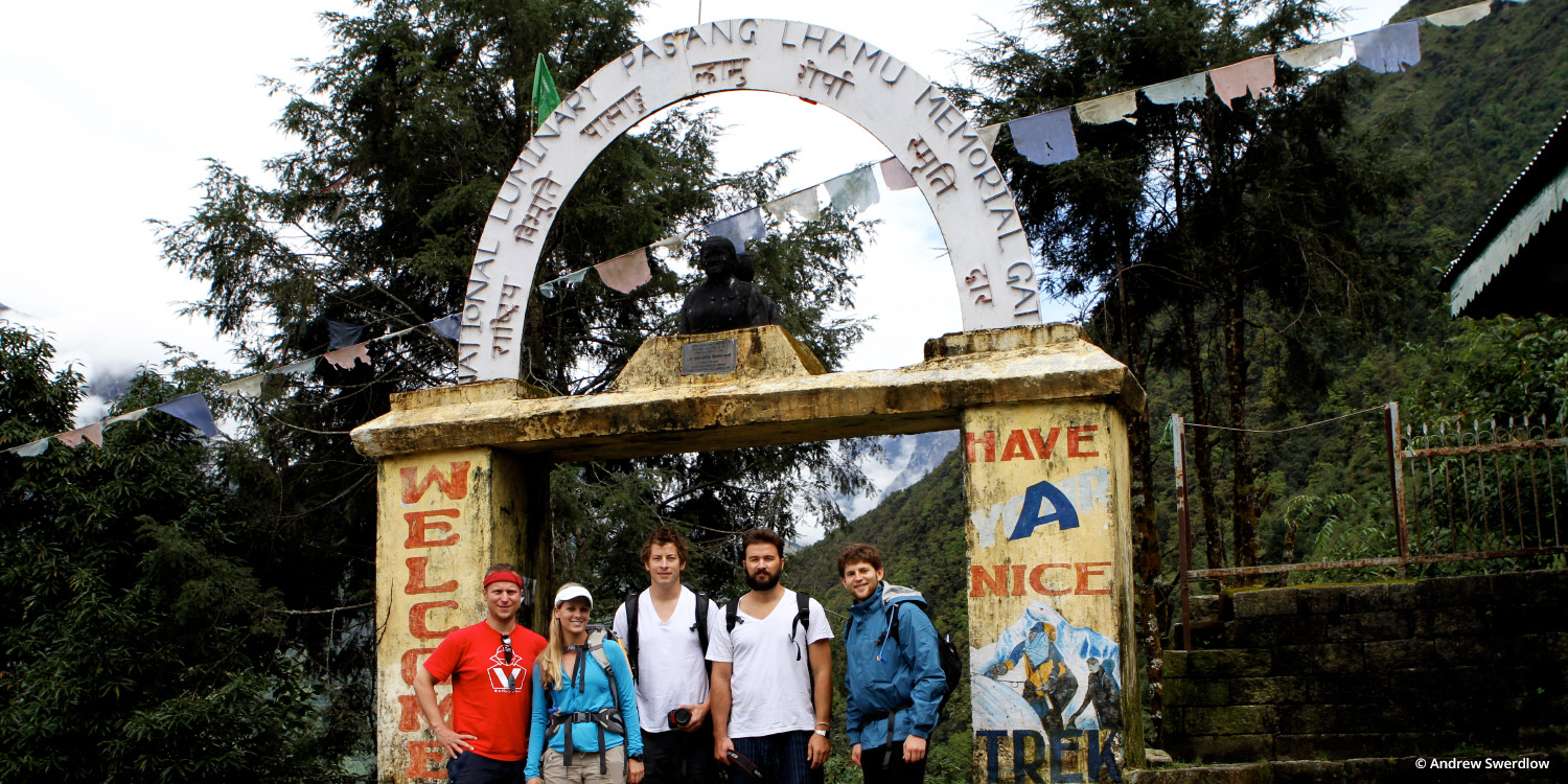
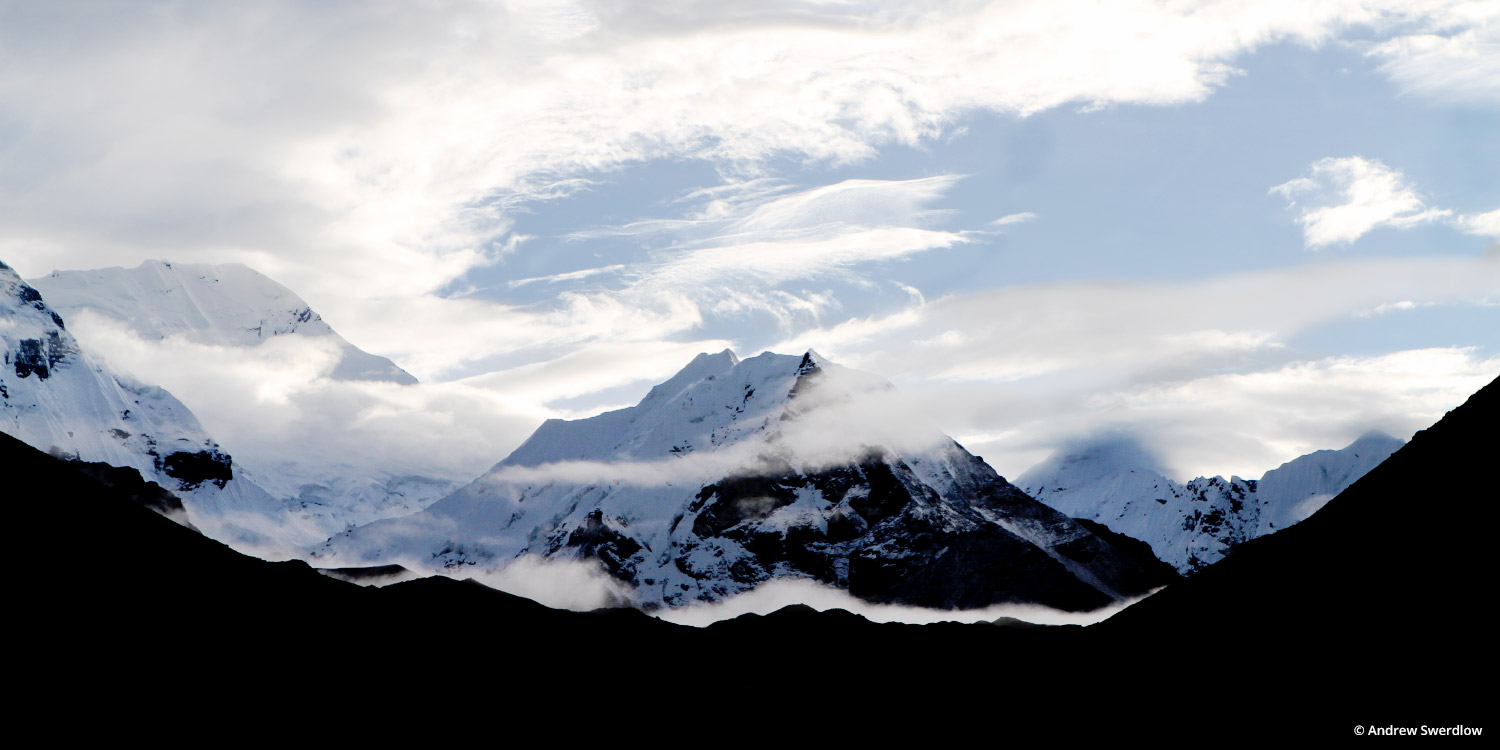
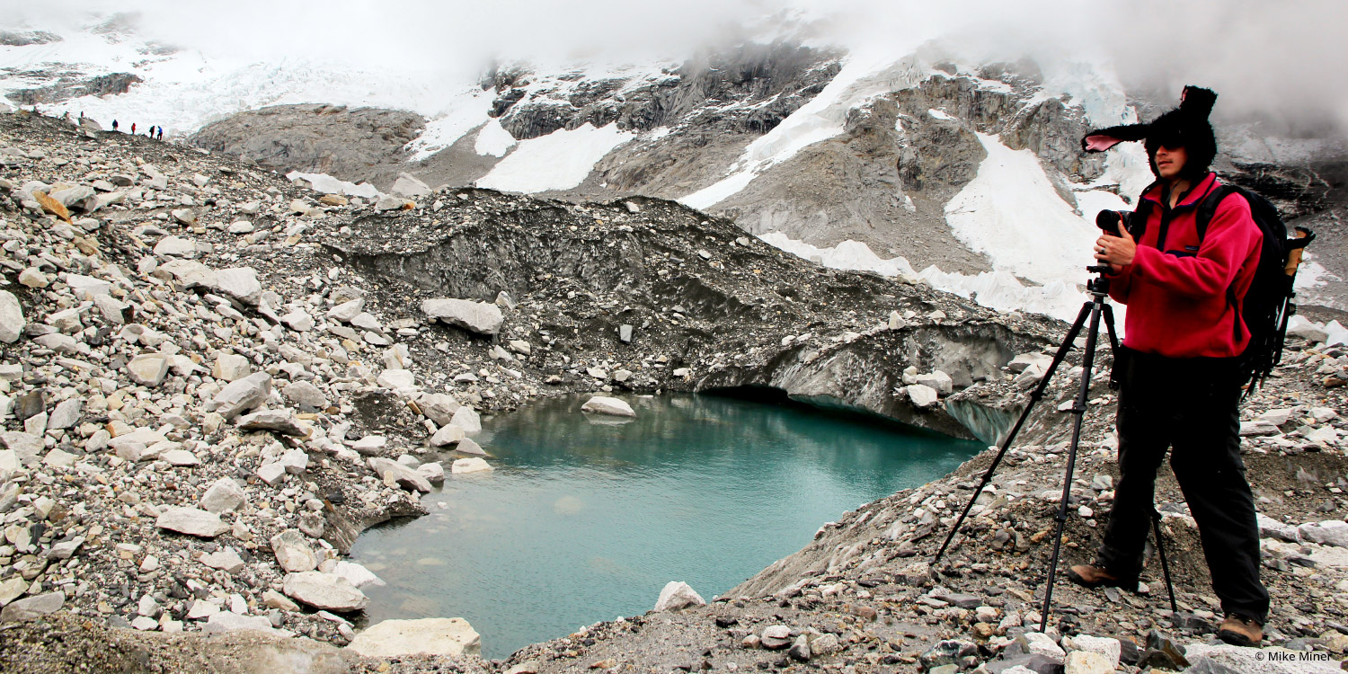
Inspired by their love of mountaineering, four Googlers decided go on a trip to Everest Base Camp in 2011. Before leaving they learned they could capture imagery of the trip for Google Maps with a tripod and digital camera, and make the photos available in Google Maps for all to see. So they loaded their packs with cameras, tripods, wide-angle lenses, solar chargers, batteries and laptops, and hopped on a plane to Nepal.
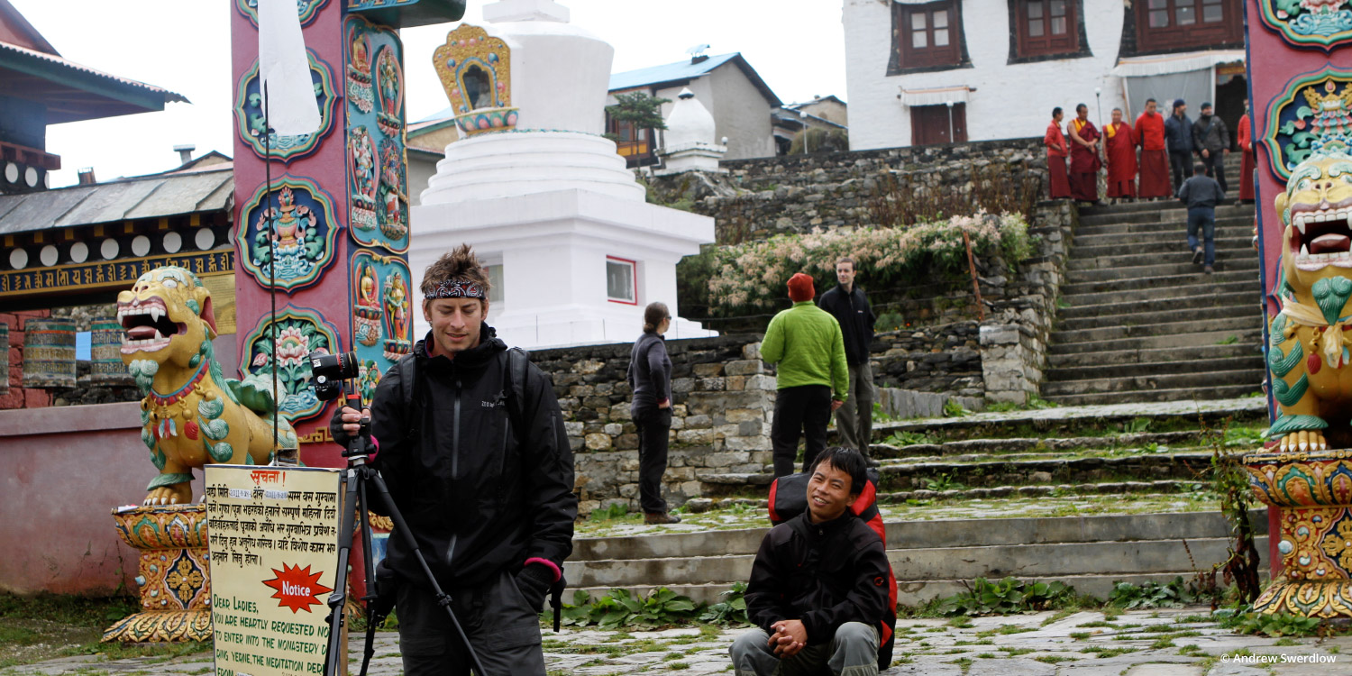
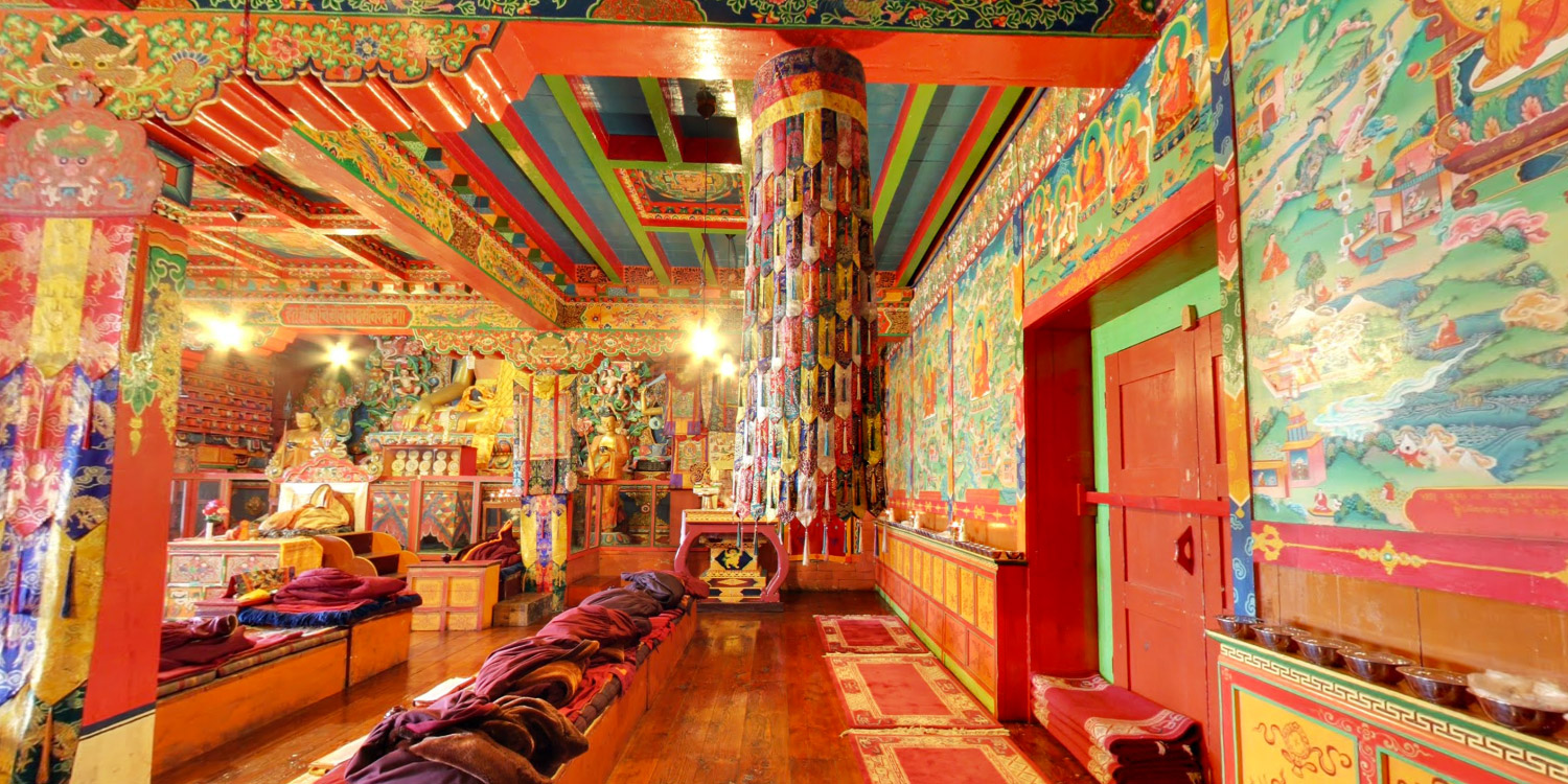
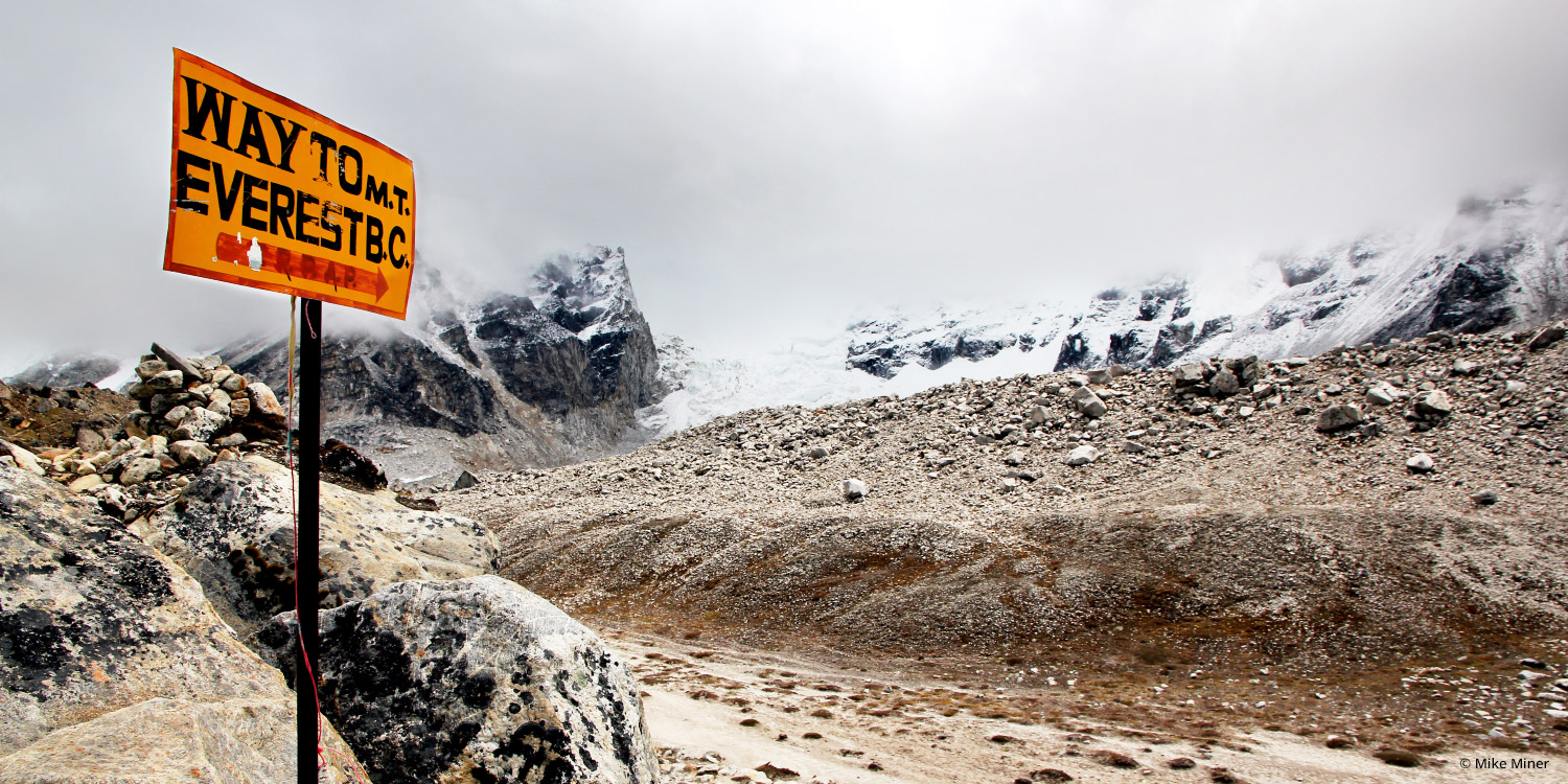
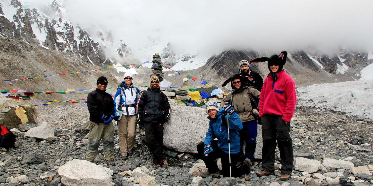
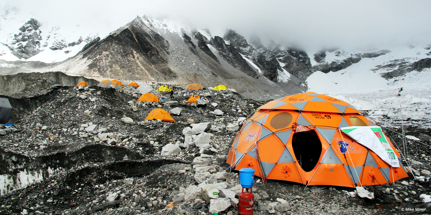
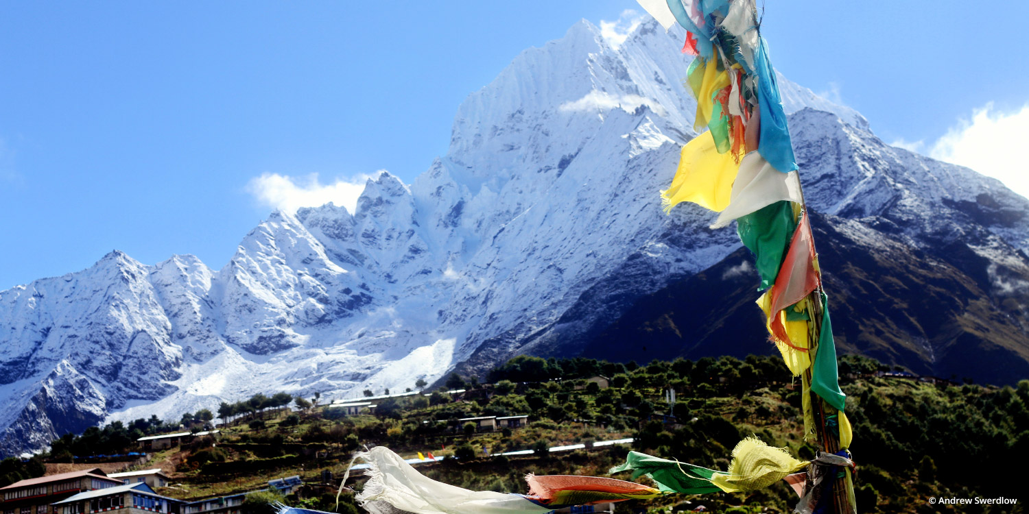
The trek to Everest Base Camp was a 12-day adventure in the mountains where they battled altitude sickness, an earthquake, mudslides, snow storms and flash floods to reach their destination and capture this imagery. With the equipment typically used for the Business Photos program, they captured a collection of panoramas at key camps and other interesting stops along the way, including a Buddhist monastery.
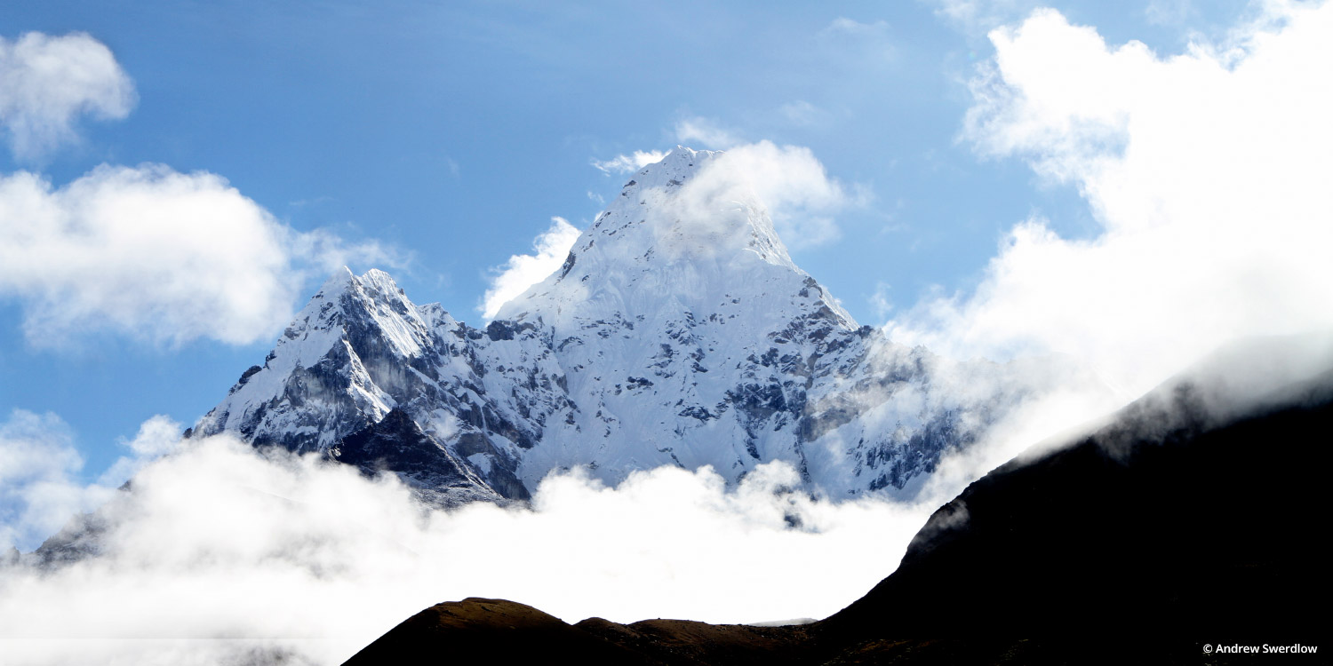
This intrepid team hiked more than 70 miles (about 50 hours) and reached an altitude of 18,192 feet -- higher than anywhere in the contiguous U.S. Thanks to their efforts, and the leadership of their guide Bhuwan Karki of Adventure Treks Nepal, this breathtaking imagery is now available in Street View.
Read more